 CourseWalk CDE The Combined & Carriage Driving App
Map your cross country course.
Identify minute markers.
Meet optimum time.
Take pictures of fences.
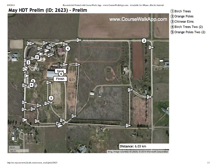
Print course maps.
Look up your dressage test.
Share your course with your friends.
Available for iPhone, iPad, and Android.
★ ★ ★ ★ ★ "Easy to use as a competitor. Fast and great tool for course designers and organizing staff too." - 8/27/2013
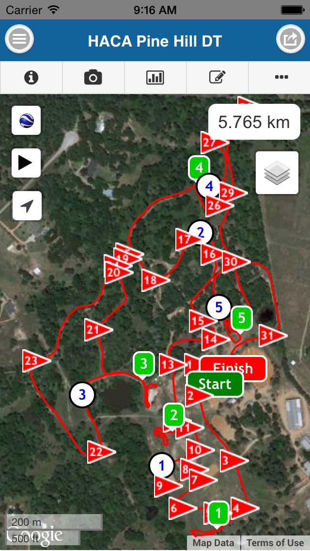
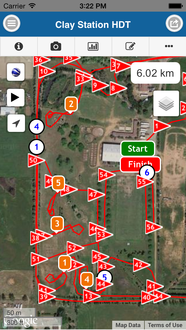
Record the course track, obstacles, compulsory flags and kilometer markers.
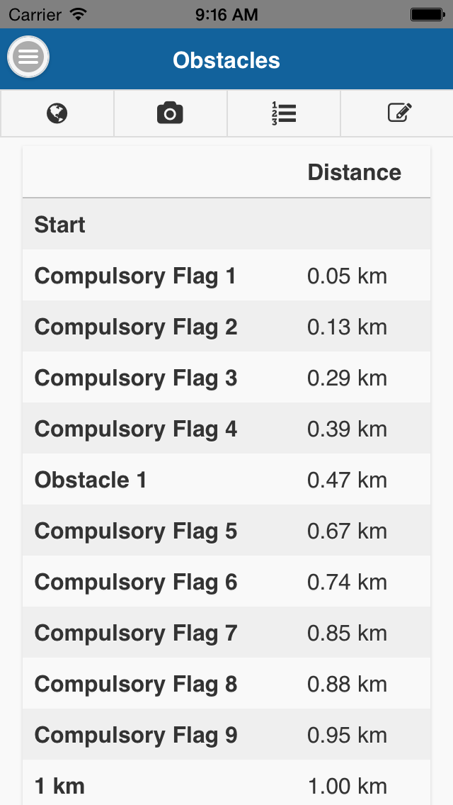
Display the sequence of compulsory flags, obstacles and kilometer markers.
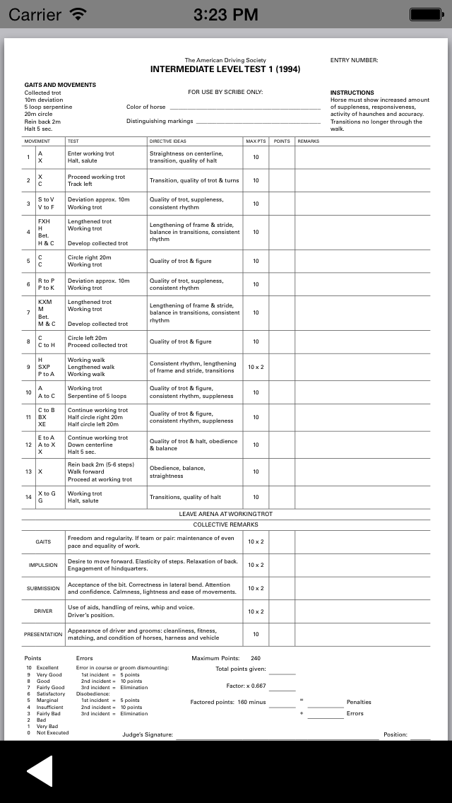
Look up Combined Driving Dressage tests and Live Scoring.
Additional Features. Share, download & more.
Share your course on MyCourseWalkCDE.Com.
Download courses from MyCourseWalkCDE.Com onto your phone.
Elevation profile displays the terrain along the course with compulsory flags, kilometer markers and obstacles.
Uphill, flat, and downhill slopes can be shown in different colors on the map.
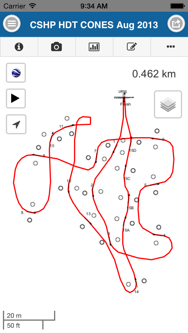
Record cone courses.
No cellphone reception or data connection required to record and view course walks.
Organizer & Course Designer Features (MyCourseWalkCDE.com). Edit, print & share.
Print marathon and cones course maps for your shows.
Make last minute edits to the track, compulsory flags and obstacle positions.
Add/Edit obstacle descriptions.
Add/Replace obstacle pictures.
Share course maps with your competitors.
Obstacle, compulsory flag and kilometer marker list with distances and times.
